BC Trail Tracker: View a trail
Trail Name
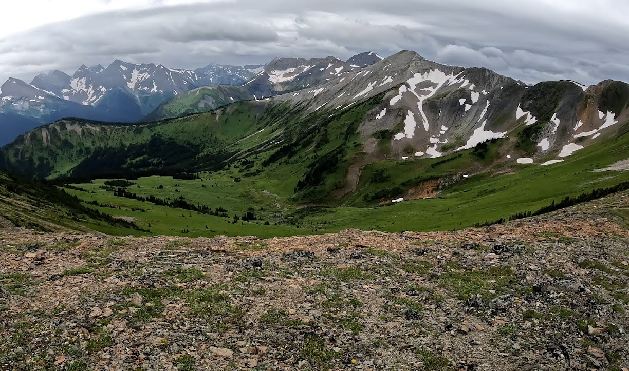
Eaton Lke
Trail Short Description
Short but steep hike south of Hope
Detailed Description
Good description in AllTrails
FMCBC description to come.
Closest town or city
Hope
Trail Rating – Easy is <5 km and <100 m elevation, Medium is 5-15 km and <500 m elevation, Difficult is > 15 km and > 500 m
Difficult
Trail Distance (round trip in km)
8
Elevation gain/loss (m)
1,000/1,0000
Trail status
Good condition
Link to AllTrails, GaiaGPS or other mapping application
Access details
To be added
Park name (if applicable)
Land Manager
Recreation Sites and Trails BC
Section 56/57 if RSTBC
Trail adopted by club or individual
Trail work required
A bit probably
Trail type or width
Type 4 – 0.5m
Trail usage (users/month)
Motorized?
Non-Motorized
Other users if multi-use
Date
18 July, 2022
Link to add trail condition report
Under construction…
Link to add trail comment
Under construction.
Trail Name
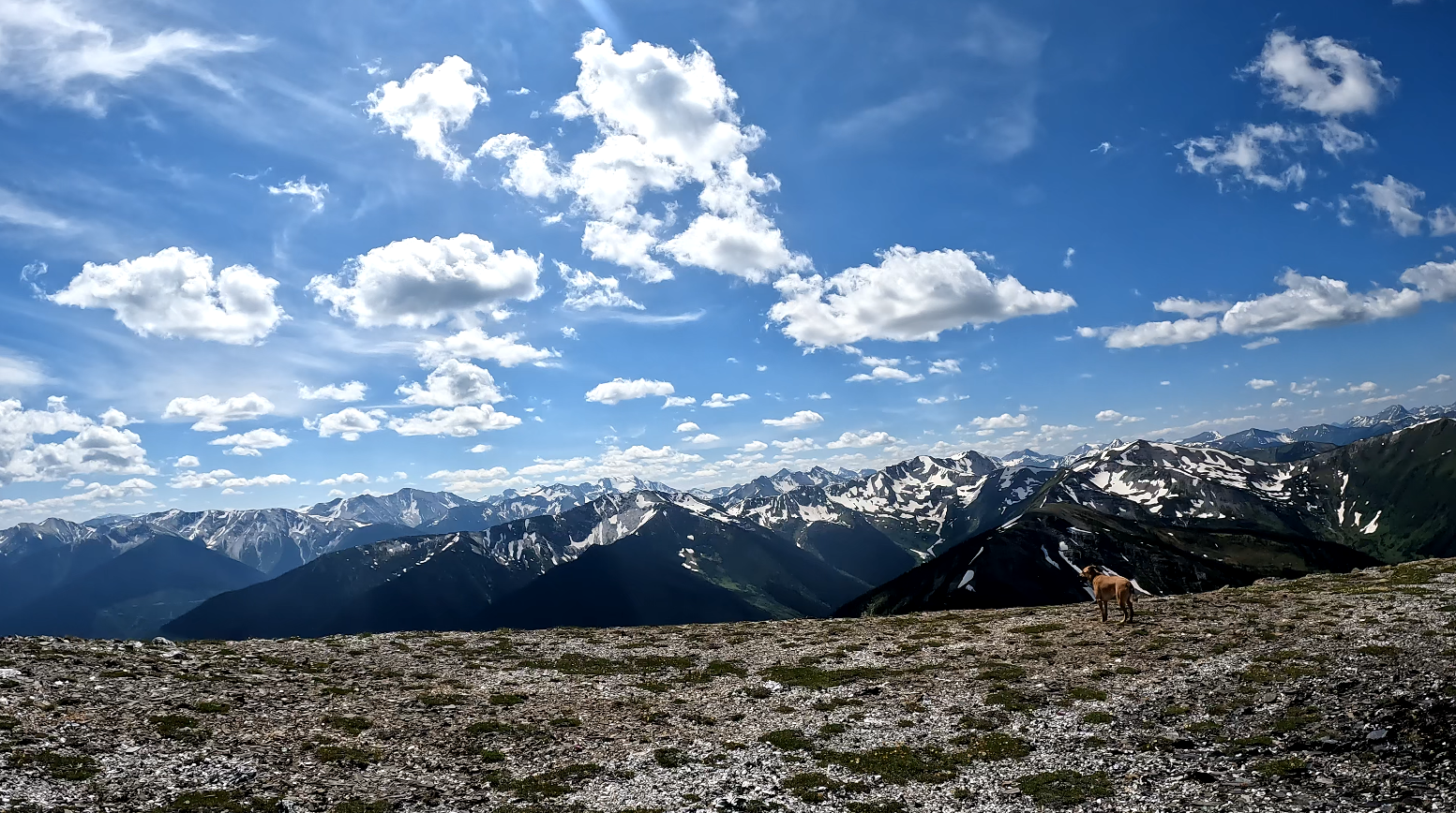
Lions – Paul Binkert
Trail Short Description
A steep trail from Lions Bay to the West Lion
Detailed Description
From the trailhead in Lions Bay (See access details) at the north end of Sunset Drive, follow the old logging road as it snakes steadily uphill. Looking at AllTrails the gradient changes from 10 to 35% depending on the section. Eventually after a couple of forks to Brunswick Mountain and Mount Harvey, the logging road ends and the actual trail starts in a beautiful forest. This is the section that Paul Binkert built in 1971. After a short section of nice large trees, the forest opens up and you start to climb up to the ridge in sub-alpine rocky terrain. Eventually you reach the ridge and join with the Howe Sound Crest trail. The top of the ridge is the best destination for most hikers. Climbing the West Lion is challenging even for experienced mountaineers. The first ledge you have to cross is very exposed with a potential for falling 50 m or more. The next section used to be easy but some recent erosion has made that section a lot trickier.
Closest town or city
Lions Bay
Trail Rating – Easy is <5 km and <100 m elevation, Medium is 5-15 km and <500 m elevation, Difficult is > 15 km and > 500 m
Difficult
Trail Distance (round trip in km)
15
Elevation gain/loss (m)
1,500/1,500
Trail status
Good condition
Link to AllTrails, GaiaGPS or other mapping application
Access details
The parking in LIons Bay is complicated. There are few expensive pay parking spots at the north end of Sunset Drive, but the best place to park in the summer is at the Lions Bay Elementary School. The free spots fill up early especially on the weekend. See the LIons Bay parking link for more information.
Park name (if applicable)
Cypress Provincial Park
Land Manager
multiple
Section 56/57 if RSTBC
TBD
Trail adopted by club or individual
BCMC?
Trail work required
A bit probably
Trail type or width
Type 4 – 0.5m
Trail usage (users/month)
3000
Motorized?
Non-Motorized
Other users if multi-use
Horses
Date
19 July, 2022
Link to add trail condition report
Under construction…
Link to add trail comment
Under construction.
Trail Name
Skywalk
Trail Short Description
Long loop trail north of Rainbow Lake in Whistler
Detailed Description
Please don’t overload the residents with too many cars driving to the trailhead – see access details.
From AllTrails: Skywalk passes through deep valleys and alpine forest up to beautiful glacial lakes. Overall, this is a great hike to Iceberg and Screaming Cat lake. Many hikers recommend redoing the loop clockwise for a challenge and unique views.
From the Whistler.ca website; The 13.8-km Skywalk hiking-only network starts off of the Flank Trail, where it crosses 19 Mile Creek at the 1100 m elevation. Skywalk climbs and winds through spectacular forest along 19 Mile Creek before entering the alpine. Skywalk offers several full-day route options on the east side of Rainbow Mountain and can be linked with Iceberg Lake and Screaming Cat Lake.
Dogs are not permitted on the Mount Sproatt and Rainbow Mountain Alpine Trail Network to minimize potential conflict with wildlife.
E-bikes, commercial and special event use are not permitted on these trails. The reason for this is to support environmental considerations, user safety and grizzly bear management in the alpine.
Hikers should allow six hours for the round trip.
Note that no dogs are allowed on this trail. There have been multiple encounters with bears and even Grizzly so don’t hike by yourself. Carrying bear spray is recommended.
The best map actually seems to be in GaiaGPS: Skywalk North And 19 Mile Creek Trail Loop: https://www.gaiagps.com/map/?loc=15.4/-122.9750/50.1535&layer=GaiaTopoRasterMeters&knownRouteId=366700
It seems to start at the north end of Mountain View Drive.
Closest town or city
Whistler
Trail Rating – Easy is <5 km and <100 m elevation, Medium is 5-15 km and <500 m elevation, Difficult is > 15 km and > 500 m
Difficult
Trail Distance (round trip in km)
24
Elevation gain/loss (m)
1,600/1,1600
Trail status
Good condition
Link to AllTrails, GaiaGPS or other mapping application
Access details
Here are some access notes from the RMOW: Please don’t park on Mountainview Drive or Alpine Way so that makes the approach to the start of the hike a bit longer.
So the best place to park is Meadow Park Sports Centre. You can park in behind the Rec Centre near the tennis courts and there is a map of the Skywalk Trail System there. There are two ways you can get to the Skywalk trail system, but most people start from the cul-de-sac at the end of Mountainview Road. It is a km and a bit of walking on town streets to get there. You exit the parking area towards Rainbow Drive, turn right on Rainbow Drive, left on Alpine Way. If you want to get to Skywalk trails via Alpine Way then stay on Alpine Way until you get to the end of it and continue up the gravel road for 3-4 km. If you want to start at Mountain View Drive, turn right off Alpine Way at Valley Drive, then left onto Mountain View
Park name (if applicable)
Land Manager
Recreation Sites and Trails BC
Section 56/57 if RSTBC
tbd
Trail adopted by club or individual
ACC Whistler Section
Trail work required
A bit probably
Trail type or width
Type 4 – 0.5m
Trail usage (users/month)
2000
Motorized?
Non-Motorized
Other users if multi-use
Date
19 July, 2022
Link to add trail condition report
Under construction…
Link to add trail comment
Under construction.
Trail Name
Sproatt Mtn East
Trail Short Description
Climbs from Whistler flank trail to summit of Sproatt Mtn
Detailed Description
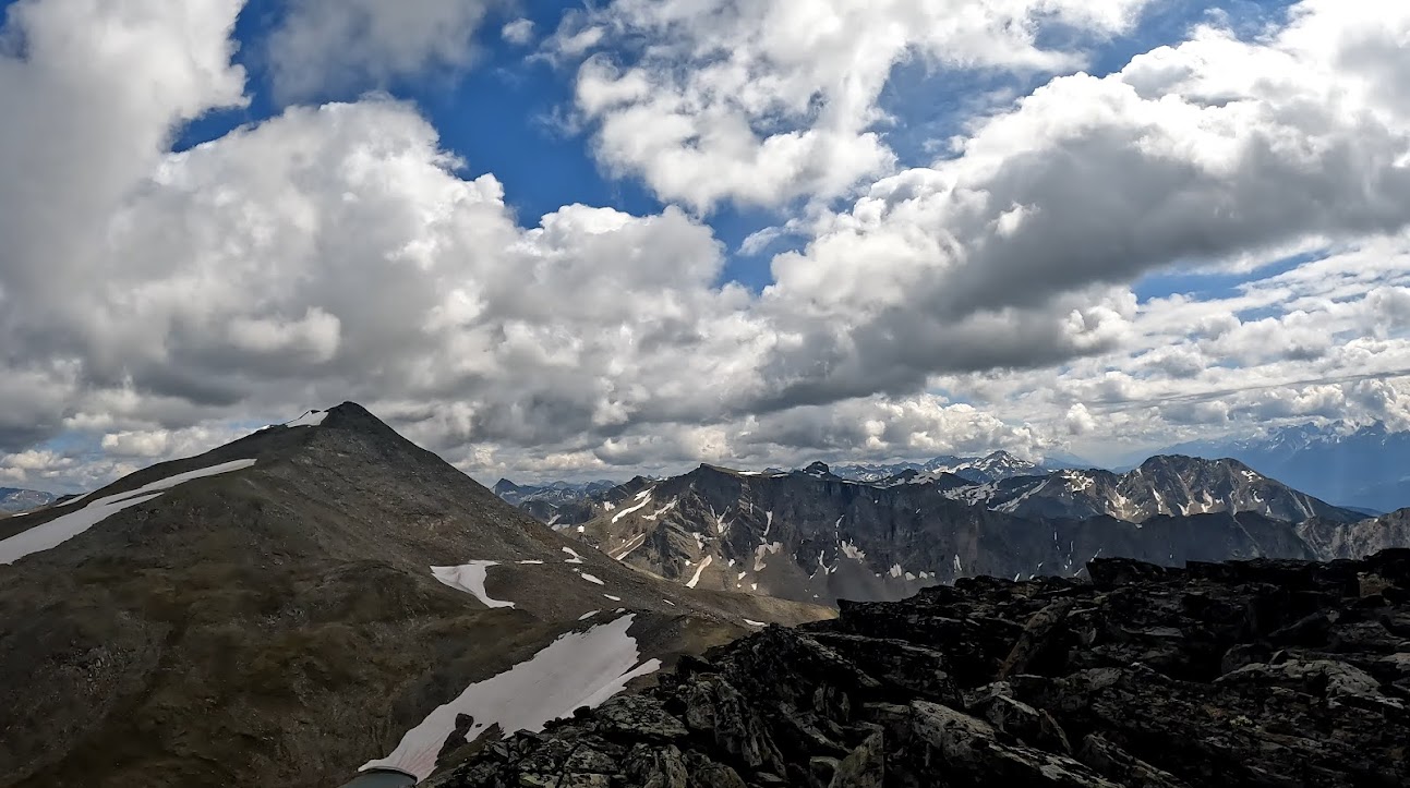
Leaves Flank trail 100 metres West of Gebhart creek. Climbs N on old trail to some large mossy rocks. It then traverses W below the prominent cliff band on the E of Sproatt Mtn before heading North through the cliffs at a small creek. From this point the trail travels W following the route of old trails. The marked trail ends at a small tarn at tree line. Above this tarn is an open bowl and the trail continues up the right hand side, with some flagging. The summit of Sproatt Mtn can be reached by a steep grassy gully or by traversing right onto the ridge to the E of the summit.
Not accesssable by bikes as trail includes a short very narrow climb beside waterfall.
Closest town or city
Whistler
Trail Rating – Easy is <5 km and <100 m elevation, Medium is 5-15 km and <500 m elevation, Difficult is > 15 km and > 500 m
Difficult
Trail Distance (round trip in km)
12
Elevation gain/loss (m)
950 metres
Trail status
Needs Work
Access details
Park at top of Stonebridge Place. Trail shown on Gaia
Park name (if applicable)
Bayshores, Whistler
Land Manager
Recreation Sites and Trails BC
Section 56/57 if RSTBC
Trail adopted by club or individual
Rupert Merer ACC Whistler
Trail work required
Yes
Trail type or width
Type 4 – 0.5m
Trail usage (users/month)
Motorized?
Non-Motorized
Other users if multi-use
Date
29 July, 2022
Link to add trail condition report
Under construction…
Link to add trail comment
Under construction.
Trail Name
Kinsol Trestle route to Madera Park
Trail Short Description
Fantastic historic trestle on Vancouver Island near Shawnigan Lake

Detailed Description
This is an amazing section of the Vancouver Island trail from just northwest of Shawington Lake at the Kinsol Trestle Parking Lot to Glenora Park. The route starts downhill for about a km to the Trestle and then heads up a bit but is mostly a flat 15 km route or 30 km loop. It works very well on a bicycle. You can start at the south or north end whatever your preference.
Description with more pictures
Closest town or city
Duncan
Trail Rating – Easy is <5 km and <100 m elevation, Medium is 5-15 km and <500 m elevation, Difficult is > 15 km and > 500 m
Difficult
Trail Distance (round trip in km)
30
Elevation gain/loss (m)
Trail status
Good condition
Access details
Search for Kinsol Trestle Parking in Google Maps
Park name (if applicable)
Land Manager
Regional Park
Section 56/57 if RSTBC
Trail adopted by club or individual
Vancouver Island Trail Association
Trail work required
Trail type or width
Type 1 – 2m or more
Trail usage (users/month)
1000
Motorized?
Non-Motorized
Other users if multi-use
Mountain bikes, Horses
Date
9 August, 2022
Link to add trail condition report
Under construction…
Link to add trail comment
Under construction.
Trail Name
Whatcom and Dewdney Trail Loop
Trail Short Description
A nice, quiet loop trail with various summit and overnight camping options.
Detailed Description
21.9 km loop trail in Manning Provincial Park with various camping options and the ability to summit several peaks from the trail, including Mt. Snass. Campsites along the way are very basic – not all have outhouses. Lakes are pretty, but access for swimming is limited. Trail is quite overgrown in most places with deadfall in many areas. Trail makes for a good 1-3 night trip depending on how relaxed you’d like to be. There are several creek crossings, up to knee deep in height, on the trail.
Description with more pictures
Closest town or city
Hope
Trail Rating – Easy is <5 km and <100 m elevation, Medium is 5-15 km and <500 m elevation, Difficult is > 15 km and > 500 m
Medium
Trail Distance (round trip in km)
Elevation gain/loss (m)
Trail status
Needs Work
Link to AllTrails, GaiaGPS or other mapping application
Access details
Easy access from Crowsnest Highway.
Park name (if applicable)
Vancouver
Land Manager
BC Parks
Section 56/57 if RSTBC
Trail adopted by club or individual
Trail work required
Yes
Trail type or width
Type 4 – 0.5m
Trail usage (users/month)
Motorized?
Other users if multi-use
Horses
Date
18 August, 2022
Link to add trail condition report
Under construction…
Link to add trail comment
Under construction.
Trail Name
Mount Currie
Trail Short Description
A long and strenuous climb to Pemberton’s iconic peak.
Detailed Description
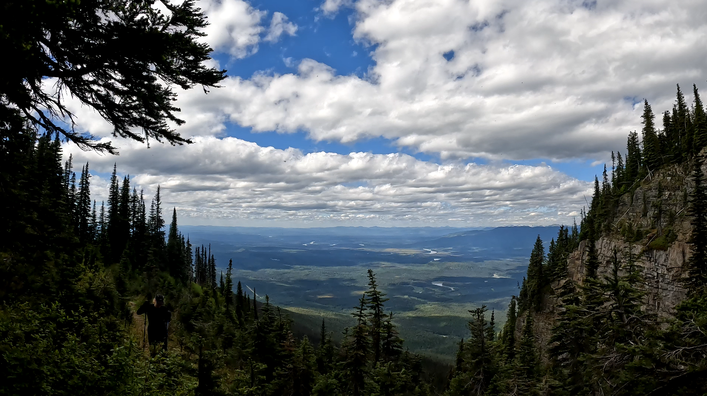
The trail has an unassuming start from a little-used logging road at about 400m elevation. After about a 1.5 km approach on gravel, this well-established trail takes off to traverse through the forest, climbing gradually, before starting to climb more steeply at about 4km. The trail is gruelling, but well marked and easy to grunt your way up, until you break out of the trees at about 1,700 m and 12km in.
Once in the subalpine, markers end and a beaten path becomes harder to spot. From about 2,000 m and 13.5 km, route finding is required, though this is not hard with good visbility. Going is slow as you hop boulders and begin the steep ascent to the summit.
There is no water for the first section of the trail, and once in the alpine, water availability is dependent on snowmelt. Budget at least twelve hours if you plan on doing this serious climb in one day.
Closest town or city
Pemberton
Trail Rating – Easy is <5 km and <100 m elevation, Medium is 5-15 km and <500 m elevation, Difficult is > 15 km and > 500 m
Difficult
Trail Distance (round trip in km)
40 km
Elevation gain/loss (m)
2400
Trail status
Good condition
Link to AllTrails, GaiaGPS or other mapping application
Access details
Accessed from Hwy. 99 via a turnoff at the Green River Motocross Park. Drive past the dirtbike track, as well as the stock car track, before entering a treed section and crossing the Green River. Stay to the left to find a clearing to park in. The road gets rougher from here on, but is passable with 4WD and high clearance (There are a few creek crossings and narrow sections; driving probably wouldn’t be much quicker than walking). Keep left at the fork and walk/drive for about 1.5km before arriving at a small kiosk and the official start of the trail.
Park name (if applicable)
Land Manager
Recreation Sites and Trails BC
Section 56/57 if RSTBC
Trail adopted by club or individual
Trail work required
No
Trail type or width
Type 3 – 0.75 -1m
Trail usage (users/month)
30
Motorized?
Non-Motorized
Other users if multi-use
Date
19 August, 2022
Link to add trail condition report
Under construction…
Link to add trail comment
Under construction.
Trail Name
Baden-Powell: Cypress Bowl to Black Mountain
Trail Short Description
Short hike from Cypress Bowl to Black Mountain
Detailed Description
From the Cypress Bowl – Cypress Creek Lodge, head towards the Eagle Express (Black Mountain) ski lift. Just before the lift there is a right fork that goes to the hiking trail. After about 20 more metres, take the left fork to Black Mountain. The right fork is a nice flat walk around Yew Lake.
The trail up to Black Mountain is a bit too steep and it is eroding. We are going to add waterbeds to control the erosion.
At the top of Black, you can go for a swim in Cabin Lake on a hot summer day or just enjoy waling around the various bumps and tarns. You can head out. to Eagle Bluffs to enjoy the view.
Closest town or city
West Vancouver
Trail Rating – Easy is <5 km and <100 m elevation, Medium is 5-15 km and <500 m elevation, Difficult is > 15 km and > 500 m
Medium
Trail Distance (round trip in km)
6
Elevation gain/loss (m)
350/350
Trail status
Needs Work
Link to AllTrails, GaiaGPS or other mapping application
Access details
Drive to Cypress Bowl downhill parking lot. Sorry no bus service in summer here.
Park name (if applicable)
Cypress Provincial Park
Land Manager
BC Parks
Section 56/57 if RSTBC
Trail adopted by club or individual
Friends of Cypress and FMCBC
Trail work required
Yes
Trail type or width
Type 2 – 1.25-1.5m
Trail usage (users/month)
high
Motorized?
Non-Motorized
Other users if multi-use
Date
30 August, 2022
Link to add trail condition report
Under construction…
Link to add trail comment
Under construction.
Trail Name
Erg Mountain
Trail Short Description
Erg Mountain – 155 kms southeast of Prince George
Detailed Description
This trail is located about 155 kms southeast of Prince George via Highway 16 and the Catfish Forest Road. It is located within Erg Mtn Prov. Park. Near the beginning of the trail is a dangerous crossing of Ptarmigan Creek. The the trail is very brushy and hard to follow as it crosses gravel flats. Thereafter it is very steep and leads more or less straight up the east side of the mountain to an alpine area at an elevation of approximately 1670 m (5500 ft). From there one can hike to a small lake or up to a ridge, eventually leading to the summit of Erg Mountain, elevation 2296 m (7534 ft).
Description with more pictures
Closest town or city
Prince George
Trail Rating – Easy is <5 km and <100 m elevation, Medium is 5-15 km and <500 m elevation, Difficult is > 15 km and > 500 m
Difficult
Trail Distance (round trip in km)
23
Elevation gain/loss (m)
1415
Trail status
Good condition
Link to AllTrails, GaiaGPS or other mapping application
Access details
From Prince George take Highway 16 East for 149 km till you reach Ptarmigan Creek Forest Rd. Turn right onto Ptarmigan Creek Forest Rd and drive along this road for 5 km to a fork. Take the right fork and drive 200m till you reach Ptarmigan Creek.
Park name (if applicable)
Erg Mountain Provincial Park
Land Manager
multiple
Section 56/57 if RSTBC
tbd
Trail adopted by club or individual
Caledonia Ramblers
Trail work required
Yes
Trail type or width
Type 3 – 0.75 -1m
Trail usage (users/month)
2
Motorized?
Non-Motorized
Other users if multi-use
Date
13 September, 2022
Link to add trail condition report
Under construction…
Link to add trail comment
Under construction.
Trail Name
Boulder Mountain
Trail Short Description
Boulder Mountain – 168 kms southeast of Prince George
Detailed Description
The trail head is located just off Highway on the Goat River Forest Road, about 168 kms southeast of Prince George. The first km follows an old logging road then a good trail ascends through open forest to a bowl at about elevation 1770 m (5800 ft) where there once was a small forestry cabin (at the 6 km mark).
From there one can ascend the ridge and reach the summit (another 1.6 km), elevation 2091 m (6860 ft) but the route is unmarked. Excellent views may be had of the Goat River Valley, the Cariboo Range to the west and south, and the Trench and Rocky Mountains (including Mt. Sir Alexander) to the east and north.
Description with more pictures
Closest town or city
Prince George
Trail Rating – Easy is <5 km and <100 m elevation, Medium is 5-15 km and <500 m elevation, Difficult is > 15 km and > 500 m
Medium
Trail Distance (round trip in km)
15
Elevation gain/loss (m)
1200
Trail status
Good condition
Link to AllTrails, GaiaGPS or other mapping application
Access details
From Prince George, travel east on highway 16 for approximately 167 km till you reach the Goat River Service Road (it is past the Goat River Rest Area). Turn right onto the Service Road and travel another 1.2 km and park where a spur road leads to the left.
Park name (if applicable)
West Twin provincial park
Land Manager
BC Parks
Section 56/57 if RSTBC
Trail adopted by club or individual
Caledonia Ramblers
Trail work required
No
Trail type or width
Type 3 – 0.75 -1m
Trail usage (users/month)
4
Motorized?
Non-Motorized
Other users if multi-use
Date
16 September, 2022
Link to add trail condition report
Under construction…
Link to add trail comment
Under construction.
Trail Name
Mount Terry Fox
Trail Short Description
Mount Terry Fox – 7.5 kms northeast of Valemount
Detailed Description
Mount Terry Fox is found just north of Valemount in Mount Terry Fox Provincial Park.
The standard route initially follows 17 switchbacks up to a pine-covered ridge top, then follows a series of cairns and a well-trodden path to a radio tower. From there the summit is a further two kilometres to the east and the monument is 2.5 kilometres to the north. There is also a connecting route between the two.
A small alpine lake just beyond the radio tower is the only source of water up to that point.
Named after the iconic Canadian hero, Mount Terry Fox offers a challenge for seasoned hikers.
*Since 2021 there is a new trailhead called the Teepee creek trail, both old and new trailheads meet past the cwell tower heading towards the Terry Fox Mt summit
Description with more pictures
Closest town or city
Valemount
Trail Rating – Easy is <5 km and <100 m elevation, Medium is 5-15 km and <500 m elevation, Difficult is > 15 km and > 500 m
Difficult
Trail Distance (round trip in km)
18
Elevation gain/loss (m)
1740
Trail status
Good condition
Link to AllTrails, GaiaGPS or other mapping application
Access details
Travel east on Highway 16 East for 273 km to the Highway 5 junction (past Tete Jaune Cache). Take the Highway 5 turn-off and travel south till you see the Mount Terry Fox viewpoint pullout. Continue past the Terry Fox viewpoint till you cross the C.N. railway tracks and bear left. Proceed past the gravel pit and water spout. Take the second right to a gravel pit. A sign marks the trail head.
Park name (if applicable)
Mt Terry Fox
Land Manager
BC Parks
Section 56/57 if RSTBC
Trail adopted by club or individual
Yellowhead Outdoor Trail Association (YORA)
Trail work required
No
Trail type or width
Type 3 – 0.75 -1m
Trail usage (users/month)
5
Motorized?
Non-Motorized
Other users if multi-use
Date
20 September, 2022
Link to add trail condition report
Under construction…
Link to add trail comment
Under construction.
Trail Name
Sugarbowl Mountain
Trail Short Description
Sugarbowl Mountain – 80 kms southeast of Prince George
Detailed Description
This trail is located about 80 kms southeast of Prince George via Highway 16 and is in the Sugarbowl-Grizzly Den Prov. Park. This steep trail leads through the forest up the north slope of Sugarbowl Mtn. onto a lightly wooded sub-alpine ridge. The summit elevation, 1836 m, is 4 kms away may be reached by easy walking.
At the summit there is a 4.5 km connector trail to the Viking Trail
Description with more pictures
Closest town or city
Prince George
Trail Rating – Easy is <5 km and <100 m elevation, Medium is 5-15 km and <500 m elevation, Difficult is > 15 km and > 500 m
Difficult
Trail Distance (round trip in km)
13.4
Elevation gain/loss (m)
1059
Trail status
Good condition
Link to AllTrails, GaiaGPS or other mapping application
Access details
The trailhead starts on the south side of highway 16, 80 km east of Prince George, BC where you will also find a parking area with trail signs
Park name (if applicable)
Sugarbowl-Grizzly Den Provincial park
Land Manager
BC Parks
Section 56/57 if RSTBC
Trail adopted by club or individual
Trail work required
No
Trail type or width
Type 3 – 0.75 -1m
Trail usage (users/month)
3
Motorized?
Non-Motorized
Other users if multi-use
Date
20 September, 2022
Link to add trail condition report
Under construction…
Link to add trail comment
Under construction.
Trail Name
Dog Mountain
Trail Short Description
Shorter trail on the side of Mount Seymour

Detailed Description
This trail is a popular trail with dog walkers. Hence the name of the trail I guess. The trail is actually outside of Mount Seymour Provincial Park which only includes that land east of the height of land along the Mount Seymour Ridge. It is managed by the Water Services team that is part of MetroVancouver. They have done some recent work on the trail but much more needs to be done.
There are some slippery rocky sections and also slippery root sections of the trail. There is some good sections too. The trail leads to a nice viewpoint.
Closest town or city
North Vancouver
Trail Rating – Easy is <5 km and <100 m elevation, Medium is 5-15 km and <500 m elevation, Difficult is > 15 km and > 500 m
Medium
Trail Distance (round trip in km)
6
Elevation gain/loss (m)
170/170
Trail status
Needs Work
Link to AllTrails, GaiaGPS or other mapping application
Access details
Drive to Mount Seymour parking lot. The Dog Mountain trail starts about 100 m north of the north end of parking lot where there is a trail kiosk that includes a poor map of the area. Download a good map before youi leave home or the parking lot.
Park name (if applicable)
Lower Seymour Conservation Reserve
Land Manager
Regional Park
Section 56/57 if RSTBC
Trail adopted by club or individual
North Shore Hikers
Trail work required
Yes
Trail type or width
Type 3 – 0.75 -1m
Trail usage (users/month)
High
Motorized?
Non-Motorized
Other users if multi-use
Date
23 September, 2022
Link to add trail condition report
Under construction…
Link to add trail comment
Under construction.
Trail Name
East Canyon and West Canyon Loop
Trail Short Description
Nice flatter trail in Golden Ears Park

Detailed Description
From the Gold Creek Parking lot, head north at marked start of East Canyon trail. The trail travels on the east side of Gold Creek to a bridge or to Viewpoint Beach where you can cross the creek if the water is low. The East Canyon trail is also open to horses and mountain bikes. Another option is taking the Lower Falls and Upper Falls trail and then connecting back to the East Canyon trail.
Once you cross over the creek you have to hike up a bit – almost to Alder Flats on the map and then head down the West Canyon trail. Or you can do the loop in the other direction if you want to do most of the uphill a bit more gradually. The West Canyon trail is for hikers only with sections that are more rocky and rugged compared to the East Canyon trail. It is in pretty in good condition, it just has a steeper, rockier more rugged section as you approach the Alder Flats junction.
Closest town or city
Maple Ridge
Trail Rating – Easy is <5 km and <100 m elevation, Medium is 5-15 km and <500 m elevation, Difficult is > 15 km and > 500 m
Medium
Trail Distance (round trip in km)
10.5
Elevation gain/loss (m)
400
Trail status
Good condition
Link to AllTrails, GaiaGPS or other mapping application
Access details
The Gold Creek parking lot is almost at the far north end of the road heading up Alouette Lake, just before the North Beach campground. Parking for the West Canyon trail is about 500 m south just before the Gold Creek campground.
You need a parking reservation for most of the summer to avoid parking chaos. Check the BC Parks website.
Park name (if applicable)
Golden Ears Provincial Park
Land Manager
BC Parks
Section 56/57 if RSTBC
Trail adopted by club or individual
Ridge Meadows Outdoor Club?
Trail work required
A bit probably
Trail type or width
Type 2 – 1.25-1.5m
Trail usage (users/month)
Busy
Motorized?
Non-Motorized
Other users if multi-use
Mountain bikes, Horses
Date
30 September, 2022
Link to add trail condition report
Under construction…
Link to add trail comment
Under construction.
Trail Name
Rockwall
Trail Short Description
Premier backpacking through subalpine forests and over 3 alpine passes.
Detailed Description
Rockwall is a premier backpacking trail that climbs up and down over three alpine passes. Hike through subalpine meadows and forests into the alpine with mountain views. The defining feature is a limestone cliff rising 900 m above the trail. On the trail, five campgrounds with pit toilets, bear caches, and picnic tables allow hikers to break up the trek into 3, 4 or 5 days.
Description with more pictures
Closest town or city
Radium Hot Springs
Trail Rating – Easy is <5 km and <100 m elevation, Medium is 5-15 km and <500 m elevation, Difficult is > 15 km and > 500 m
Difficult
Trail Distance (round trip in km)
55
Elevation gain/loss (m)
3000
Trail status
Good condition
Link to AllTrails, GaiaGPS or other mapping application
Access details
Usual access via Paint Pots Trailhead or Floe Lake Trailhead, but also Numa Falls Trailhead.
Park name (if applicable)
Kootenay National Park
Land Manager
Section 56/57 if RSTBC
Trail adopted by club or individual
Trail work required
Yes
Trail type or width
Type 3 – 0.75 -1m
Trail usage (users/month)
1000
Motorized?
Non-Motorized
Other users if multi-use
Date
5 November, 2022
Link to add trail condition report
Under construction…
Link to add trail comment
Under construction.
Trail Name
Valentine Lake Trail
Trail Short Description
Spetch Creek FSR to Valentine Lake, to access Saxifrage and Cassiope
Detailed Description
Start from the end of Spetch Creek FSR (or before depending on clearance and water bars). Trail starts on right side of road just before the turn around at the very end (don’t cross the creek). Trail climbs steeply through the woods, then gradually eases, emerging into damp meadows, ultimately ending at Valentine Lake. You can continue from there to scramble Saxifrage and Cassiope peaks.
Closest town or city
Mt Currie
Trail Rating – Easy is <5 km and <100 m elevation, Medium is 5-15 km and <500 m elevation, Difficult is > 15 km and > 500 m
Difficult
Trail Distance (round trip in km)
13
Elevation gain/loss (m)
650
Trail status
Good condition
Link to AllTrails, GaiaGPS or other mapping application
Access details
Take Pemberton Portage Road north from Mt Currie. Take Spetch Creek FSR up (note, FSR branches off Pemberton Portage Rd about 200m beyond where it’s indicated on most topo maps. Lower waterbars are 2wd friendly, but some from mid point and up require subaru or better clearance. Trail starts just before where road is washed out crossing Spetch Creek.
Park name (if applicable)
Vancouver
Land Manager
Section 56/57 if RSTBC
Trail adopted by club or individual
Trail work required
A bit probably
Trail type or width
Type 4 – 0.5m
Trail usage (users/month)
4
Motorized?
Other users if multi-use
Date
25 June, 2023
Link to add trail condition report
Under construction…
Link to add trail comment
Under construction.
After you are done viewing the trail you can jump to
other options: